
Becoming Lost Proof
- Oct 15, 2016
- 5 min read

There are two main reasons someone who goes out into the wild needs a search and rescue team. They have either gotten injured and need a medical evacuation or they have become lost. Today we will address the issue of becoming lost.
You would think that in today’s world of GPS, Google maps and smartphone technology it would be impossible to become lost and yet 300 people require rescuing every year in Kananaskis alone including accidents. Accidents and injury requiring rescue can happen to anyone, even the best prepared and trained outdoor enthusiast, but becoming lost is 100% preventable and it starts with planning.
Plan your excursion.
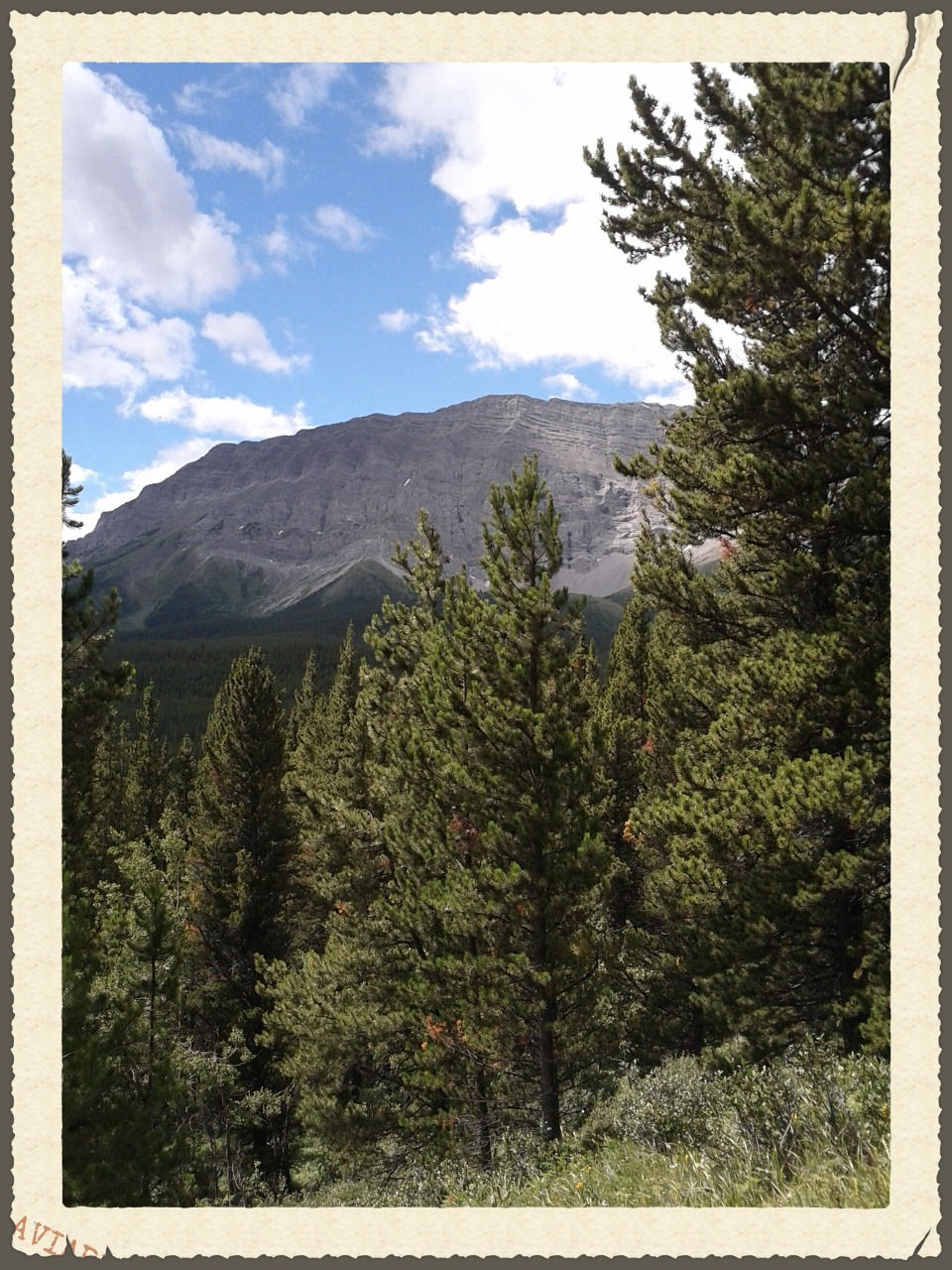
Planning for a day trip is much the same as planning for a multi day trek through the mountains. Step #1 is to get a good map of the area. For the areas I frequent I use Gem Trek maps to start with. They are fairly accurate and waterproof and show sufficient detail to prevent getting lost.
The gem trek maps offer details and descriptions of all the popular hiking trails as well as more remote areas for advanced adventuring. Look at where you want to go and also look at the route required to get there. Study the terrain features, and make note of any landmarks in the area that you can use for reference when you get there. Mountain peaks, highways, trail signs, gates, bridges etc are all marked on the map. Make mental note, or better yet keep a notebook handy and describe your route to yourself in writing in that notebook. This will help to commit your adventure to memory and you will be better able to notice when something is not right. Take special care with estimating distances and travel times. Walking up steep terrain is going to take longer than an easy stroll across a meadow. This is also a good time to use Google Maps to get a view of the actual ground from the sky and relate that to the paper map you have. Bookmark your destination coordinates on google maps like this: https://goo.gl/maps/EGUdosDNJek and then compose an email to a good friend or relative who is not going with you. This person could be responsible for saving your life, so make a good choice. Email the map link, when you are planning on leaving, your planned parking lot and hiking route and your expected time of return. Also include your cellphone number, car licence plate number and make and model of your car. Don’t forget to tell them who is going with you and what you are wearing. Also include the contact phone numbers for law enforcement and search and rescue organizations in the area you are going to be in. Important! Don’t forget to contact this person when you have arrived home safe and sound so that they don’t get the search and rescue teams all wound up for nothing.
Know how to use your compass
This is where I have seen so many people fail. They assume that using a compass is easy and that knowing where north is will get them home. Wrong. I have seen ranking military officers fail at using a compass and get entire units lost in the field so don’t be afraid to take a course to learn how to use your compass correctly. ( www.starkbushcraft.com/courses )
On site Orientation.
Once you have driven to the parking lot and are getting your gear out of the car to head out, STOP. This is where it can all go wrong right off the bat. Take out the map and compass. Align the map to magnetic north and study the map and terrain. Identify the physical land marks such as mountain peaks, river turns, bridges etc that you can see from the parking lot and find them on the map and vice versa. Note the actual visual distances to these landmarks. What you imagined at home is very very different from how it actually looks. Sometimes you won’t be able to see that ridge or mountain peak because of weather conditions or simply because the trees are in the way. This is where getting lost begins. Not being able to see distant landmarks.
Once you have matched the map, your mental image and actual physical topography you can set out on your adventure. Stop every 30 minutes or so to look at your map and compass to make sure you know where you are on the map and that you are still heading in the right direction. Also stop and double check your location and heading every time there is a fork in the trail or you need to go around an obstacle. Unplanned deviations from the trail should also be written down in a notebook so you can keep track of how to get back should you become disoriented later. This is especially important when you are heading deep into the wilderness far from popular trails.

When you stop, look behind you. Identify how you got to where you are now. Know what the way back looks like at all times.
By stopping regularly and identifying where you are on the map on a regular basis, you will effectively lost proof yourself. If you know exactly where you are and how you got there, you are not lost. True story:
A few years back, in 2013, just after the ‘great flood’ there was a lot of damage to popular hiking trails. I was out hiking with my brother in law and we were following a popular trail in the elbow valley area west of Bragg Creek. We were having a good time chatting and not paying close attention to details. The weather started getting rainy and late in the day and we thought we should have reached the point where the loop turned and headed back to the parking lot. What we didn’t realize is that the creek we were walking along had become a raging torrent during the flood and the intersection with the back country trail and signpost had been washed away. I pulled out the map and compass. Identified a mountain peak, took a bearing, looked at the map… Holy smokes! We were 3km up the back country trail! Had we not stopped to look we would have continued on in a north easterly direction when the parking lot was to the southwest. The scariest part was 20 minutes after we turned to head back we ran into a father and son out for a day hike coming toward us, up the back country trail as the rain started. They had nothing but their t-shirts and running shoes on. No gear of any kind. We asked them if they knew where they were and showed them where they actually were on the map. I thought the dad was going to pass out from the shock when he realized how bad a situation there were in. They thanked us profusely and followed us back out.
Read about another near misadventure in the Strawberry Hills region of Kananaskis here:


Comments